Integration through Location
December 6, 2012 Leave a comment
Are you getting the most out of your GIS?
By: Joe Howell
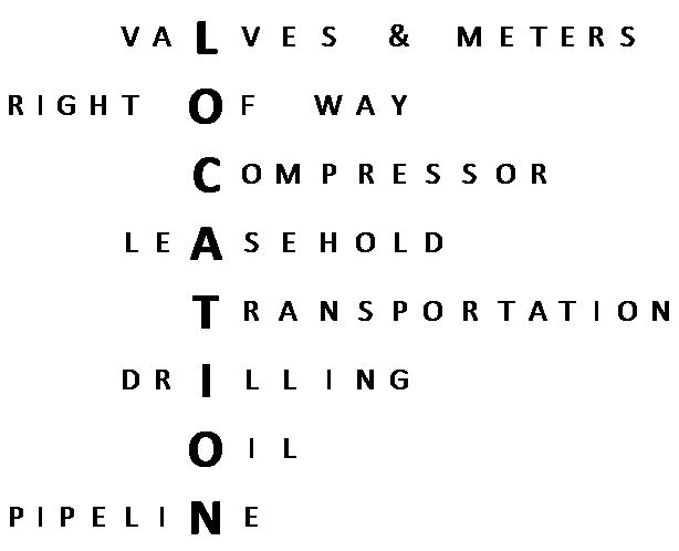
How well are Oil and Gas companies leveraging their investment in GIS? GIS uses database tables and layers to analyze how things relate to each other geographically and most companies barely scratch the surface of its potential. The biggest gap in corporate vision for GIS that I have observed is the ability to use location to integrate otherwise non-related systems. Oil and Gas companies have different systems to manage Leasehold, Wells, Drilling, Pipeline Integrity, and SCADA monitoring (among many others). From the perspective of the database, there is no easy way to tie these systems together. But all of the systems have something in common… LOCATION!
 I have been in operations centers that have both digital and paper maps for visualizing these assets. The striking thing is that in virtually every case, they only use these tools for visualizing. They don’t use the location information to tie the systems together digitally, they depend on manual efforts to examine the map and determine the relationship. So what’s wrong with that? It’s expensive and it entirely underutilizes the investment already made in building a GIS system. Most energy companies use the ArcGIS suite by ESRI. They spend thousands on desktop software and hundreds of thousands on servers and server software just to give them access to spatial analysis tools. This is a large investment, and it is one that provides a lot of value. The question is can it do more? And the answer is ABSOLUTELY, POSITIVELY, YES IT CAN!
When was the last time you pulled out a paper map to get directions? If you are like me, it has been several years. Why? Because you can go to maps.google.com (or bing or yahoo or…) and ask the computer to give you directions. (Or better yet, have your phone or navigation computer handle it.) Now when you pull up that map, do you go through it visually to figure out each turn? Of course not… the application does it for you. Well there is no relationship between you and your destination, so how does the computer figure it out? It uses GIS, of course.
Geography can be used to figure out the relationship between the meter and the lease, distance between valves (along the pipeline, as the crow flies, or driving), or even to find the nearest maintenance personnel for the compressor that is having issues. GIS really enables some out of the box thinking. Virtually everything we do in this industry can be tied together with location.
Using location as an analysis tool isn’t limited to just proximity, density, or how things are connected in a network. I recently worked on a tool that would allow executives use a sliding scale to see aggregated lease expiration by county across the entire nation. Another project uses GIS to demonstrate percent of MAOP across pipelines based on SCADA information real time. The operations center sees a data driven map interface which changes color and brings up a table and chart when threshold values are exceeded. Geography can be a useful Business Intelligence tool to show how key performance indicators are impacting business. Here are a few examples:
- Production profitability by state and county or section.
- Evaluation and reporting of high consequence areas.
- Comparison of lease expenditure and production or transport cost
- Weather forecasting against drilling schedule
- Lease expiration forecasting
- Pipeline inspection and maintenance scheduling
- Encroachment trends
- Construction routing and cost estimation
- Geologists can outline plays and direct leasing efforts
- Coordination of leasehold and right of way acquisition between brokers
These are all location based processes that can help increase profitability. The possibilities are limited only by our ability to find ways to examine and deliver the data. As I said before, In the Oil and Gas industry, location is a part of just about every question. Shouldn’t it be part of every answer?
